

The RankmyAI Wildfire Detection Ranking presents the top 20 AI tools from our Overall ranking in April 2026 focusing on wildfire detection using AI software.
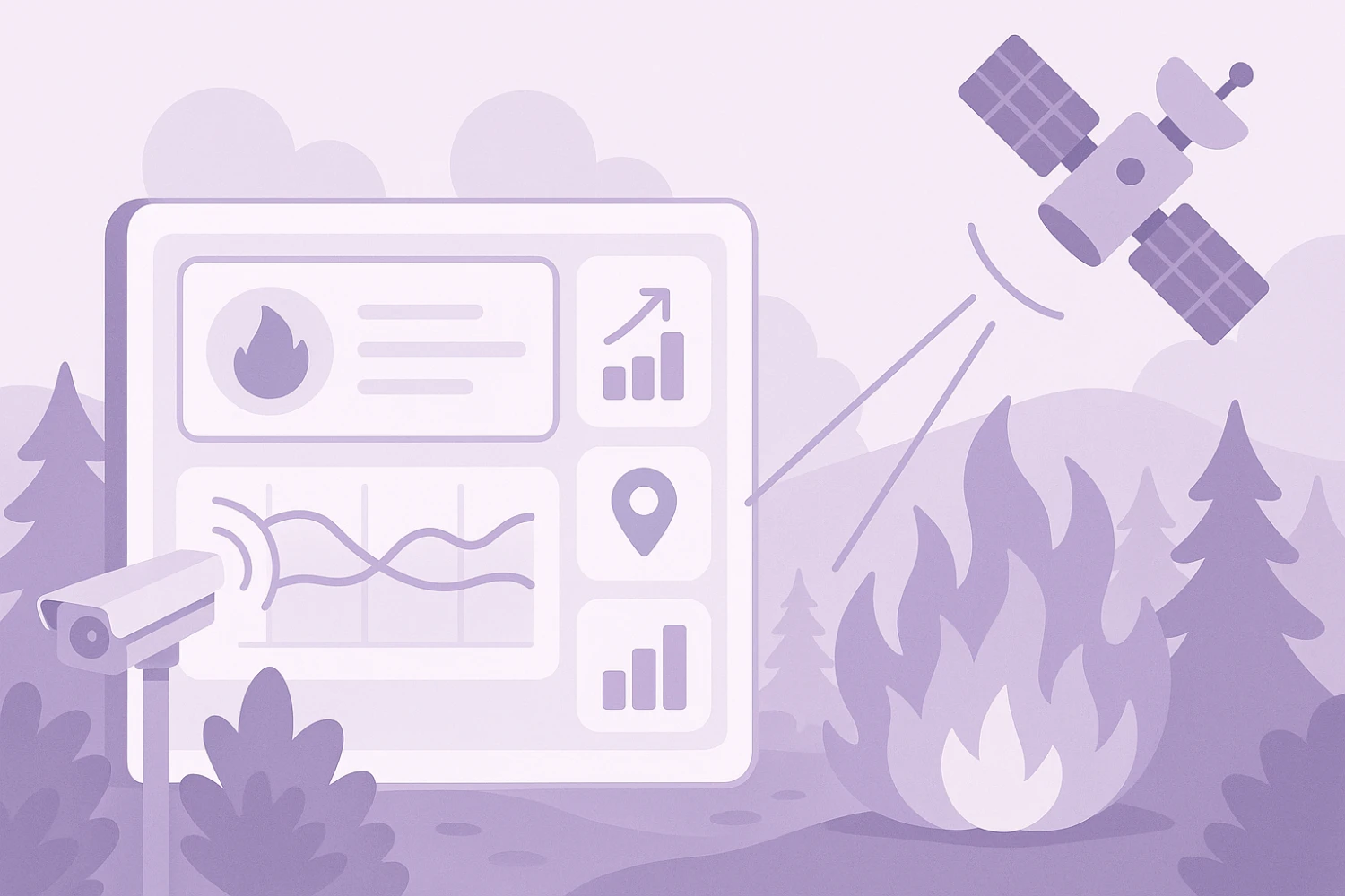
AI wildfire detection tools use artificial intelligence to analyze data from satellites, ground-based sensors, cameras, and weather systems to identify early signs of wildfires and assess fire risk. These tools apply pattern recognition, image analysis, and predictive modeling to detect smoke, heat anomalies, and vegetation dryness in real time or near-real time. They are commonly used by emergency services, environmental agencies, utility companies, and land managers to improve response times, monitor fire-prone areas, and support wildfire prevention and mitigation efforts.
The green up and red down arrows indicate how many positions a tool has increased or decreased compared to the previous month's ranking. A grey dash means the tool's position has remained unchanged.
 paid
paid
 United States
 unknown
United States
paid
unknown
United States
paid
 Germany
unknown
Germany
unknown
 Canada
unknown
Germany
paid
United States
Canada
unknown
Germany
paid
United States
 freemium
United States
unknown
Canada
unknown
United States
paid
United States
unknown
United States
unknown
United States
paid
unknown
freemium
United States
unknown
Canada
unknown
United States
paid
United States
unknown
United States
unknown
United States
paid
unknown
 Australia
paid
United States
paid
Australia
paid
United States
paid
 Denmark
paid
United States
paid
Denmark
paid
United States
paid
 South Korea
unknown
unknown
United States
South Korea
unknown
unknown
United States
Rankings in Environmental Monitoring

Disclaimer
The RankmyAI Wildfire Detection Ranking is derived from our Overall ranking, which measures the popularity of AI tools based on three key metrics: website traffic, reviews, and investments. The Overall ranking is calculated as the weighted average of the individual rankings for each of these metrics (for more details, see our Methodology page).
Not all AI tools in this ranking are exclusively focused on AI assisted wildfire detection, as AI tools and companies often provide multiple services beyond this specific application. This ranking does not assess or indicate the quality, effectiveness, or reliability of the listed AI tools. It is solely based on popularity metrics and should not be interpreted as an endorsement or evaluation of their performance.
You are free to use and distribute our ranking, provided that RankmyAI is properly cited as the source (see our Copyright page).