

These rankings are based on data from April 2026
GeoAI integrates artificial intelligence with Geographic Information Systems to automate spatial data analysis. It offers AI-driven solutions like building change detection, shoreline damage assessment, and wildlife monitoring using drones and satellite data, supporting efficient geospatial decision-making.
Pricing
paid
Position of GeoAI on sub rankings
April 2026
Netherlands - Overall
469 out of 2,023
Province of Groningen AI Tools Ranking - Overall
19 out of 105
Satellite image analysis - Overall
13 out of 44
Netherlands - Overall
469 out of 2,023
Province of Groningen AI Tools Ranking - Overall
19 out of 105
Satellite image analysis - Overall
13 out of 44
Insights
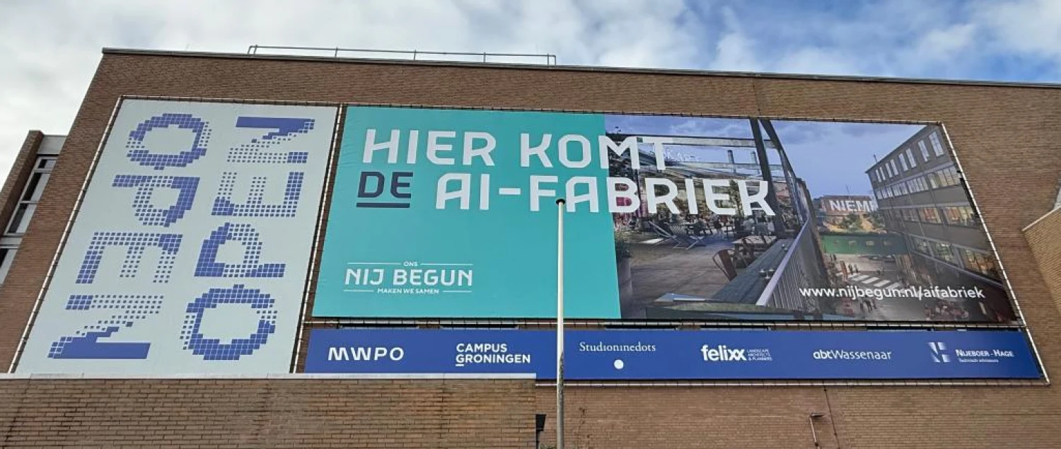
Data-Driven policy: How the Province of Groningen uses RankmyAI to track AI growth
Dante Tenbergen, Policy Officer for the Digital Economy at the Province of Groningen, uses data to prepare the region for a future beyond large-scale natural gas extraction and its consequences. In this conversation, he explains his work and how the collaboration with RankmyAI helps him understand the rapidly developing IT and AI sector in Groningen.
Mapping the Dutch AI Landscape: Key insights from our latest report
The Dutch AI sector is evolving at a remarkable pace, with many new tools and companies emerging every year. But where are these AI innovations taking place, which industries are leading the way, and which companies are gaining the most traction?
Maps
The Province of Groningen AI Ecosystem Map
This interactive map provides a real time overview of the AI ecosystem in the Province of Groningen. As of June 2026, the map displays 90 AI tools and AI companies that are headquartered in the region, based on data from RankmyAI.

The top 10 Dutch AI tools on the map
This interactive map provides a real time overview of the AI ecosystem in the the Netherlands. As of June 2026, the map displays the top 10 AI tools and AI companies that are headquartered in the Netherlands, based on data from RankmyAI.